Maymount Street, Belfast
Introduction
The photograph on this page of Maymount Street, Belfast by Albert Bridge as part of the Geograph project.
The Geograph project started in 2005 with the aim of publishing, organising and preserving representative images for every square kilometre of Great Britain, Ireland and the Isle of Man.

There are currently over 7.5m images from over 14,400 individuals and you can help contribute to the project by visiting https://www.geograph.org.uk
Maymount Street, Belfast
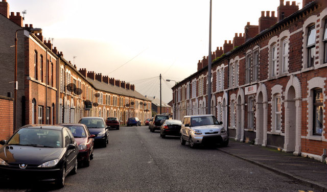
Image: © Albert Bridge Taken: 16 Nov 2011
A late 19th century street, between the Woodstock Road and Cherryville Street. With the exception of the two on the left it still has the original terrace houses. The view is from Radnor Street Image
Images are licensed for reuse under creativecommons.org/licenses/by-sa/2.0
Image Location
Latitude
54.592682
Longitude
-5.905861