Boundary stone at Rainworth
Introduction
The photograph on this page of Boundary stone at Rainworth by Antony Dixon as part of the Geograph project.
The Geograph project started in 2005 with the aim of publishing, organising and preserving representative images for every square kilometre of Great Britain, Ireland and the Isle of Man.

There are currently over 7.5m images from over 14,400 individuals and you can help contribute to the project by visiting https://www.geograph.org.uk
Boundary stone at Rainworth
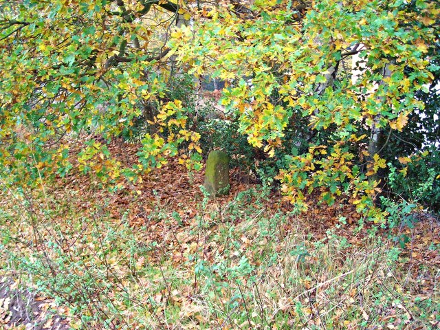
Image: © Antony Dixon Taken: 16 Nov 2011
This stone marks the boundary between Mansfield and Rainworth Civil Parish. It is marked on the 1:25000 Explorer map.
Images are licensed for reuse under creativecommons.org/licenses/by-sa/2.0
Image Location
Latitude
53.123433
Longitude
-1.126231