The A259 passing St Clement's church, Old Romney
Introduction
The photograph on this page of The A259 passing St Clement's church, Old Romney by John Baker as part of the Geograph project.
The Geograph project started in 2005 with the aim of publishing, organising and preserving representative images for every square kilometre of Great Britain, Ireland and the Isle of Man.

There are currently over 7.5m images from over 14,400 individuals and you can help contribute to the project by visiting https://www.geograph.org.uk
The A259 passing St Clement's church, Old Romney
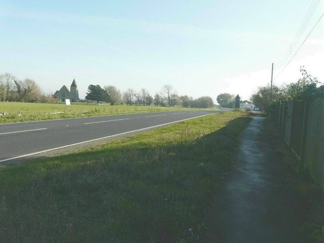
Image: © John Baker Taken: 13 Nov 2011
Looking in the direction of New Romney. The white board in the meadow had a large ‘No’ painted on it to advertise local opposition to the expansion of Lydd airport. In the distance, on the right, the Oasis Diner restaurant can be seen.
Images are licensed for reuse under creativecommons.org/licenses/by-sa/2.0
Image Location
Latitude
50.989424
Longitude
0.897542