Old sign to St Olave's church, Rowan Road
Introduction
The photograph on this page of Old sign to St Olave's church, Rowan Road by David Howard as part of the Geograph project.
The Geograph project started in 2005 with the aim of publishing, organising and preserving representative images for every square kilometre of Great Britain, Ireland and the Isle of Man.

There are currently over 7.5m images from over 14,400 individuals and you can help contribute to the project by visiting https://www.geograph.org.uk
Old sign to St Olave's church, Rowan Road
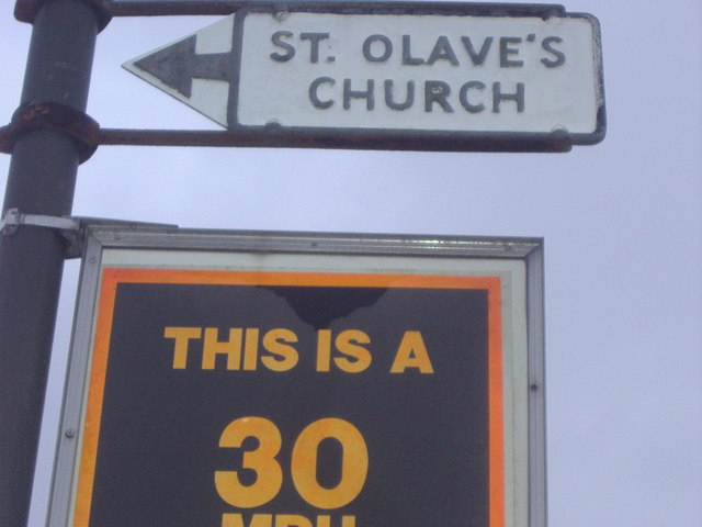
Image: © David Howard Taken: 23 Feb 2009
Although made in the usual pre-Worboys style, when aiming for local buildings these were probably made by the council when using the plain white arrows.
Images are licensed for reuse under creativecommons.org/licenses/by-sa/2.0
Image Location
Latitude
51.406894
Longitude
-0.141092