Bloomfield Gardens, Belfast (1)
Introduction
The photograph on this page of Bloomfield Gardens, Belfast (1) by Albert Bridge as part of the Geograph project.
The Geograph project started in 2005 with the aim of publishing, organising and preserving representative images for every square kilometre of Great Britain, Ireland and the Isle of Man.

There are currently over 7.5m images from over 14,400 individuals and you can help contribute to the project by visiting https://www.geograph.org.uk
Bloomfield Gardens, Belfast (1)
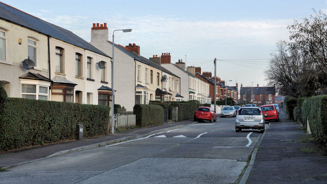
Image: © Albert Bridge Taken: 16 Nov 2011
A street running from the Greenville Road to the Bloomfield Road Image (background). It seems to date from after WW1 and might be one of several streets, in the immediate area, built of the site of a number of larger houses. Image shows the unusual street name sign at the Greenville Road end.
Images are licensed for reuse under creativecommons.org/licenses/by-sa/2.0
Image Location
Latitude
54.590766
Longitude
-5.883525