Rhine beside Chapel Road
Introduction
The photograph on this page of Rhine beside Chapel Road by Ruth Riddle as part of the Geograph project.
The Geograph project started in 2005 with the aim of publishing, organising and preserving representative images for every square kilometre of Great Britain, Ireland and the Isle of Man.

There are currently over 7.5m images from over 14,400 individuals and you can help contribute to the project by visiting https://www.geograph.org.uk
Rhine beside Chapel Road
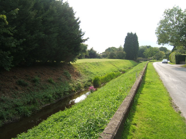
Image: © Ruth Riddle Taken: 28 Jul 2011
The deep rhine beside Chapel Road has the capacity to hold a large volume of rainwater run-off from areas upstream, before it can be released into the River Severn, which can only occur when the tide is low.
Images are licensed for reuse under creativecommons.org/licenses/by-sa/2.0
Image Location
Latitude
51.628442
Longitude
-2.560923