Railway bridge on Purley Downs Road
Introduction
The photograph on this page of Railway bridge on Purley Downs Road by David Anstiss as part of the Geograph project.
The Geograph project started in 2005 with the aim of publishing, organising and preserving representative images for every square kilometre of Great Britain, Ireland and the Isle of Man.

There are currently over 7.5m images from over 14,400 individuals and you can help contribute to the project by visiting https://www.geograph.org.uk
Railway bridge on Purley Downs Road
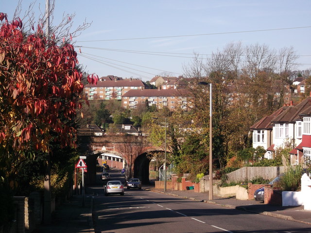
Image: © David Anstiss Taken: 13 Nov 2011
This road leads down from Sanderstead towards Purley. The railway bridge carries the line between Purley Oaks and Purley.
Images are licensed for reuse under creativecommons.org/licenses/by-sa/2.0
Image Location


Leaflet Map data © OpenStreetMap
Latitude
51.343348
Longitude
-0.103891