Farmland near Grantham
Introduction
The photograph on this page of Farmland near Grantham by Kate Jewell as part of the Geograph project.
The Geograph project started in 2005 with the aim of publishing, organising and preserving representative images for every square kilometre of Great Britain, Ireland and the Isle of Man.

There are currently over 7.5m images from over 14,400 individuals and you can help contribute to the project by visiting https://www.geograph.org.uk
Farmland near Grantham
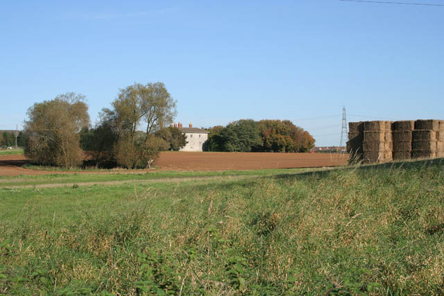
Image: © Kate Jewell Taken: 29 Oct 2006
The house, Harlaxton Lower Lodge, is just in Image The electricity pylon is on the line of the A1 and you can just see the Earlesfield housing estate beyond.
Images are licensed for reuse under creativecommons.org/licenses/by-sa/2.0
Image Location
Latitude
52.896365
Longitude
-0.679039