Terrace on Church Lane, Killamarsh
Introduction
The photograph on this page of Terrace on Church Lane, Killamarsh by Jonathan Clitheroe as part of the Geograph project.
The Geograph project started in 2005 with the aim of publishing, organising and preserving representative images for every square kilometre of Great Britain, Ireland and the Isle of Man.

There are currently over 7.5m images from over 14,400 individuals and you can help contribute to the project by visiting https://www.geograph.org.uk
Terrace on Church Lane, Killamarsh
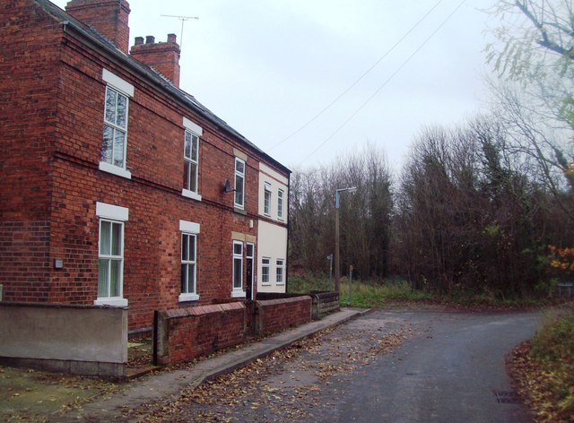
Image: © Jonathan Clitheroe Taken: 14 Nov 2011
This short row of terraced houses is situated at the end of Church Lane. Beyond the bend the lane becomes Dale Road.
Images are licensed for reuse under creativecommons.org/licenses/by-sa/2.0
Image Location
Latitude
53.323999
Longitude
-1.307105