Fishers Pond
Introduction
The photograph on this page of Fishers Pond by David Lally as part of the Geograph project.
The Geograph project started in 2005 with the aim of publishing, organising and preserving representative images for every square kilometre of Great Britain, Ireland and the Isle of Man.

There are currently over 7.5m images from over 14,400 individuals and you can help contribute to the project by visiting https://www.geograph.org.uk
Fishers Pond
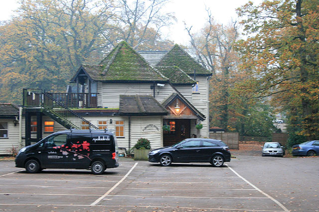
Image: © David Lally Taken: 14 Nov 2011
Large wooden-built pub on the western end of the eponymous Fishers Pond. The pub lies on the B3354.
Images are licensed for reuse under creativecommons.org/licenses/by-sa/2.0
Image Location
Latitude
50.986698
Longitude
-1.305533