Daniell Arms at junction of Daniell Street and Infirmary Lane
Introduction
The photograph on this page of Daniell Arms at junction of Daniell Street and Infirmary Lane by Roger Templeman as part of the Geograph project.
The Geograph project started in 2005 with the aim of publishing, organising and preserving representative images for every square kilometre of Great Britain, Ireland and the Isle of Man.

There are currently over 7.5m images from over 14,400 individuals and you can help contribute to the project by visiting https://www.geograph.org.uk
Daniell Arms at junction of Daniell Street and Infirmary Lane
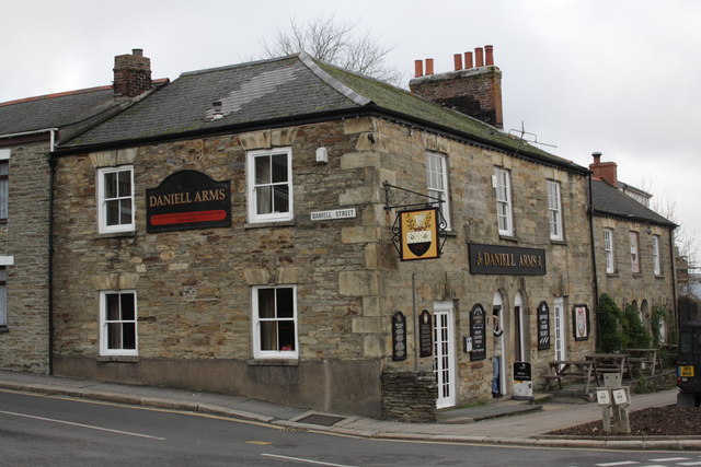
Image: © Roger Templeman Taken: 12 Nov 2011
The concrete skirt on the Daniell Street face of the pub may hide an Ordnance Survey cut mark benchmark levelled in 1850 at 110.263 ft above Ordnance Datum Liverpool. The mark is described on the Bench Mark Database at http://www.bench-marks.org.uk/bm40182
Images are licensed for reuse under creativecommons.org/licenses/by-sa/2.0
Image Location
Latitude
50.259562
Longitude
-5.055094