Newtown Road, Nuneaton
Introduction
The photograph on this page of Newtown Road, Nuneaton by Peter Whatley as part of the Geograph project.
The Geograph project started in 2005 with the aim of publishing, organising and preserving representative images for every square kilometre of Great Britain, Ireland and the Isle of Man.

There are currently over 7.5m images from over 14,400 individuals and you can help contribute to the project by visiting https://www.geograph.org.uk
Newtown Road, Nuneaton
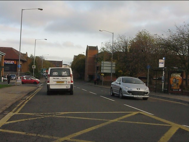
Image: © Peter Whatley Taken: 12 Nov 2011
Part of the inner ring road which the planning authority has permitted to become choked with retail parks.
Images are licensed for reuse under creativecommons.org/licenses/by-sa/2.0
Image Location
Latitude
52.525044
Longitude
-1.46905