Bench Mark, Dundonald
Introduction
The photograph on this page of Bench Mark, Dundonald by Rossographer as part of the Geograph project.
The Geograph project started in 2005 with the aim of publishing, organising and preserving representative images for every square kilometre of Great Britain, Ireland and the Isle of Man.

There are currently over 7.5m images from over 14,400 individuals and you can help contribute to the project by visiting https://www.geograph.org.uk
Bench Mark, Dundonald
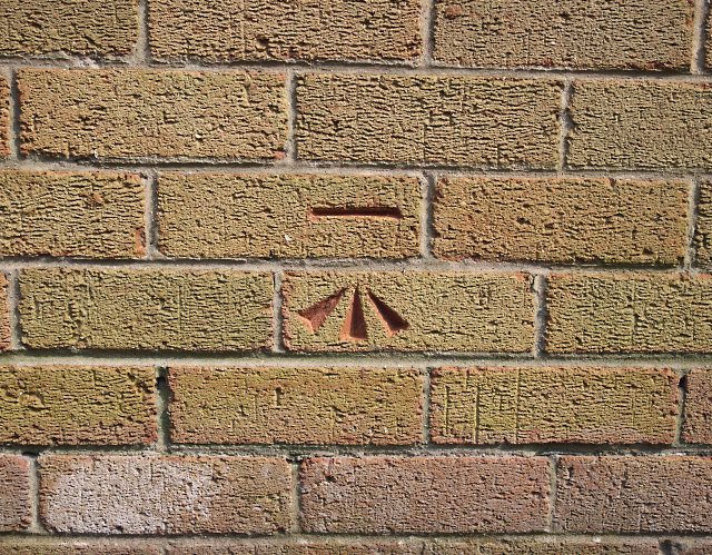
Image: © Rossographer Taken: 4 Jun 2010
Cut bench mark located on a gospel hall on the Comber Road in Dundonald Image The mark is 21.06 metres above MSL.
Images are licensed for reuse under creativecommons.org/licenses/by-sa/2.0
Image Location
Latitude
54.588034
Longitude
-5.803401