Disused lane at Gras Lawn
Introduction
The photograph on this page of Disused lane at Gras Lawn by David Smith as part of the Geograph project.
The Geograph project started in 2005 with the aim of publishing, organising and preserving representative images for every square kilometre of Great Britain, Ireland and the Isle of Man.

There are currently over 7.5m images from over 14,400 individuals and you can help contribute to the project by visiting https://www.geograph.org.uk
Disused lane at Gras Lawn
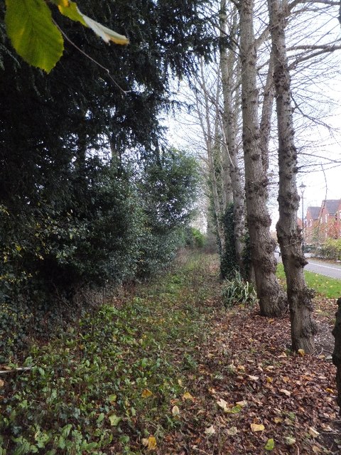
Image: © David Smith Taken: 13 Nov 2011
On 19th century maps, this lane provided access from Barrack Road to nursery buildings for the plant nurseries on the left. The lane became derelict and some of the trees probably date from the period when the area to the right was a playing field for Exeter University.
Images are licensed for reuse under creativecommons.org/licenses/by-sa/2.0
Image Location
Latitude
50.713848
Longitude
-3.512537