All Saints' Avenue
Introduction
The photograph on this page of All Saints' Avenue by Martin Addison as part of the Geograph project.
The Geograph project started in 2005 with the aim of publishing, organising and preserving representative images for every square kilometre of Great Britain, Ireland and the Isle of Man.

There are currently over 7.5m images from over 14,400 individuals and you can help contribute to the project by visiting https://www.geograph.org.uk
All Saints' Avenue
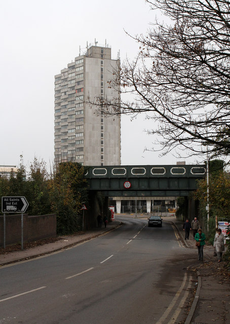
Image: © Martin Addison Taken: 12 Nov 2011
Looking down towards the sea. The bridges carry the Margate to Ramsgate railway line over the road. Beyond stands Arlington House on the corner of All Saints' Avenue and Marine Terrace.
Images are licensed for reuse under creativecommons.org/licenses/by-sa/2.0
Image Location
Latitude
51.384729
Longitude
1.374396