2011 : Veal Lane, East Horrington
Introduction
The photograph on this page of 2011 : Veal Lane, East Horrington by Maurice Pullin as part of the Geograph project.
The Geograph project started in 2005 with the aim of publishing, organising and preserving representative images for every square kilometre of Great Britain, Ireland and the Isle of Man.

There are currently over 7.5m images from over 14,400 individuals and you can help contribute to the project by visiting https://www.geograph.org.uk
2011 : Veal Lane, East Horrington
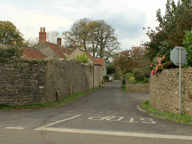
Image: © Maurice Pullin Taken: 24 Oct 2011
Heading West of North to West Horrington. (South Horrington is due west of here but don't moan at me, I didn't name them.) A bunch of pink hydrangeas hang over the wall to compensate for the directionally challenged villages.
Images are licensed for reuse under creativecommons.org/licenses/by-sa/2.0
Image Location
Latitude
51.218576
Longitude
-2.602317