Neslam Road
Introduction
The photograph on this page of Neslam Road by Marathon as part of the Geograph project.
The Geograph project started in 2005 with the aim of publishing, organising and preserving representative images for every square kilometre of Great Britain, Ireland and the Isle of Man.

There are currently over 7.5m images from over 14,400 individuals and you can help contribute to the project by visiting https://www.geograph.org.uk
Neslam Road
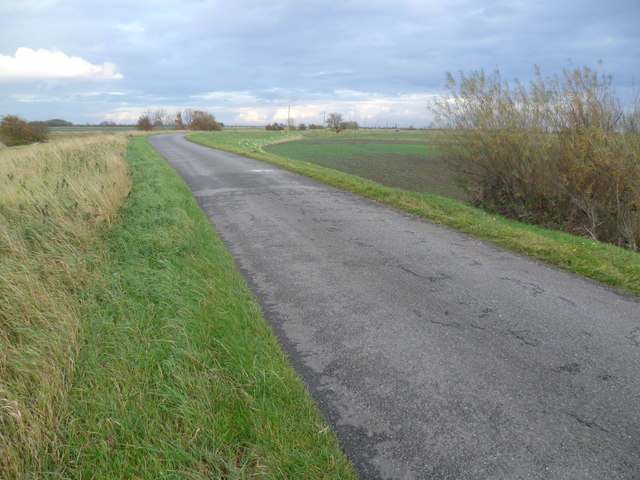
Image: © Marathon Taken: 4 Nov 2011
Each of the villages between Bourne and Heckington, a distance of some 15 miles, almost without exception has a road leading out onto the fen named after its village and terminating at the South Forty Foot Drain. Neslam Road which runs eastwards from the B1177 between Billingborough and Pointon is an exception as it crosses the South Forty Foot Drain at Neslam Bridge. Unlike some of the other roads which cross the South Forty Foot Drain, it is a fairly quiet, narrow and bumpy road. This is a typical fenland scene with a flat landscape, large hedgeless fields, often isolated trees and lonely farms.
Images are licensed for reuse under creativecommons.org/licenses/by-sa/2.0
Image Location


Leaflet Map data © OpenStreetMap
Latitude
52.884119
Longitude
-0.30251