Parbold Parish Church
Introduction
The photograph on this page of Parbold Parish Church by David Hignett as part of the Geograph project.
The Geograph project started in 2005 with the aim of publishing, organising and preserving representative images for every square kilometre of Great Britain, Ireland and the Isle of Man.

There are currently over 7.5m images from over 14,400 individuals and you can help contribute to the project by visiting https://www.geograph.org.uk
Parbold Parish Church
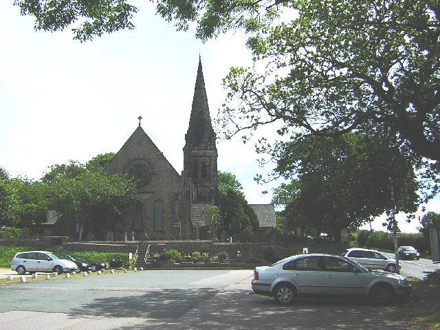
Image: © David Hignett Taken: 13 Jul 2005
Built in 1875 just nine years ahead of its rival RC neighbour, Christ Church Parbold now thrives as a host to a sizeable Day Nursery for this quite affluent area. The church nestles on the West side of Parbold Hill, the local 1:7 challenge for cyclists and heavy lorries.
Images are licensed for reuse under creativecommons.org/licenses/by-sa/2.0
Image Location


Leaflet Map data © OpenStreetMap
Latitude
53.590501
Longitude
-2.753823