Montague Road, Berkhamsted in 1966
Introduction
The photograph on this page of Montague Road, Berkhamsted in 1966 by John Baker as part of the Geograph project.
The Geograph project started in 2005 with the aim of publishing, organising and preserving representative images for every square kilometre of Great Britain, Ireland and the Isle of Man.

There are currently over 7.5m images from over 14,400 individuals and you can help contribute to the project by visiting https://www.geograph.org.uk
Montague Road, Berkhamsted in 1966
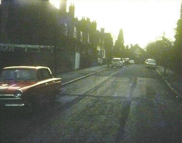
Image: © John Baker Taken: Unknown
Possibly taken into the sun but submitted to show another view of the house seen at the top of the road Image from another angle.
Images are licensed for reuse under creativecommons.org/licenses/by-sa/2.0
Image Location
Latitude
51.758756
Longitude
-0.571077