Road junction, Great Bookham
Introduction
The photograph on this page of Road junction, Great Bookham by Robin Webster as part of the Geograph project.
The Geograph project started in 2005 with the aim of publishing, organising and preserving representative images for every square kilometre of Great Britain, Ireland and the Isle of Man.

There are currently over 7.5m images from over 14,400 individuals and you can help contribute to the project by visiting https://www.geograph.org.uk
Road junction, Great Bookham
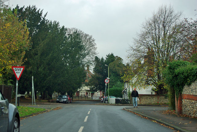
Image: © Robin Webster Taken: 12 Nov 2011
Dorking Road meets Leatherhead Road to the right and Lower Shott to the left. The dead-end straight on is also called Leatherhead Road.
Images are licensed for reuse under creativecommons.org/licenses/by-sa/2.0
Image Location
Latitude
51.277064
Longitude
-0.372301