The Knatchbull Arms, Stoke St Michael
Introduction
The photograph on this page of The Knatchbull Arms, Stoke St Michael by Maigheach-gheal as part of the Geograph project.
The Geograph project started in 2005 with the aim of publishing, organising and preserving representative images for every square kilometre of Great Britain, Ireland and the Isle of Man.

There are currently over 7.5m images from over 14,400 individuals and you can help contribute to the project by visiting https://www.geograph.org.uk
The Knatchbull Arms, Stoke St Michael
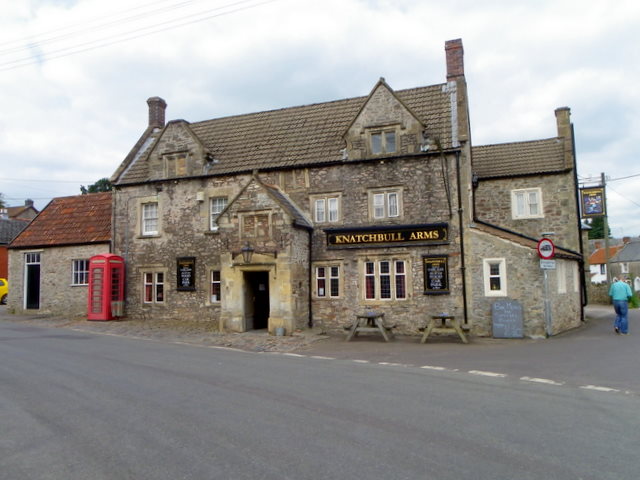
Image: © Maigheach-gheal Taken: 31 Aug 2011
The building dates from the late 17th century and it was originally a house. For a view of the sign Image
Images are licensed for reuse under creativecommons.org/licenses/by-sa/2.0
Image Location
Latitude
51.220121
Longitude
-2.482346