The Merry Boys
Introduction
The photograph on this page of The Merry Boys by John M as part of the Geograph project.
The Geograph project started in 2005 with the aim of publishing, organising and preserving representative images for every square kilometre of Great Britain, Ireland and the Isle of Man.

There are currently over 7.5m images from over 14,400 individuals and you can help contribute to the project by visiting https://www.geograph.org.uk
The Merry Boys
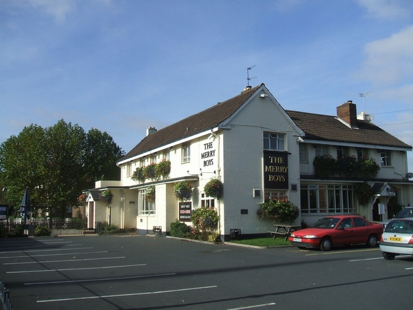
Image: © John M Taken: 29 Oct 2006
The principal features of the junctions on the Willenhall Road are pubs, churches and traffic lights. This pub is at the junction with Dean's Road
Images are licensed for reuse under creativecommons.org/licenses/by-sa/2.0
Image Location
Latitude
52.583377
Longitude
-2.087033