2011 : Not far from the bottom, track and bridleway from Knook Down
Introduction
The photograph on this page of 2011 : Not far from the bottom, track and bridleway from Knook Down by Maurice Pullin as part of the Geograph project.
The Geograph project started in 2005 with the aim of publishing, organising and preserving representative images for every square kilometre of Great Britain, Ireland and the Isle of Man.

There are currently over 7.5m images from over 14,400 individuals and you can help contribute to the project by visiting https://www.geograph.org.uk
2011 : Not far from the bottom, track and bridleway from Knook Down
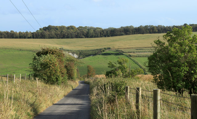
Image: © Maurice Pullin Taken: 18 Oct 2011
A turn to the right then on to the B390. A chalk pit appears on the other side of the valley, dug out by farmers to improve the soil.
Images are licensed for reuse under creativecommons.org/licenses/by-sa/2.0
Image Location
Latitude
51.188452
Longitude
-2.073497