Final bends before Allt Nathrach reaches the sea
Introduction
The photograph on this page of Final bends before Allt Nathrach reaches the sea by Alan Reid as part of the Geograph project.
The Geograph project started in 2005 with the aim of publishing, organising and preserving representative images for every square kilometre of Great Britain, Ireland and the Isle of Man.

There are currently over 7.5m images from over 14,400 individuals and you can help contribute to the project by visiting https://www.geograph.org.uk
Final bends before Allt Nathrach reaches the sea
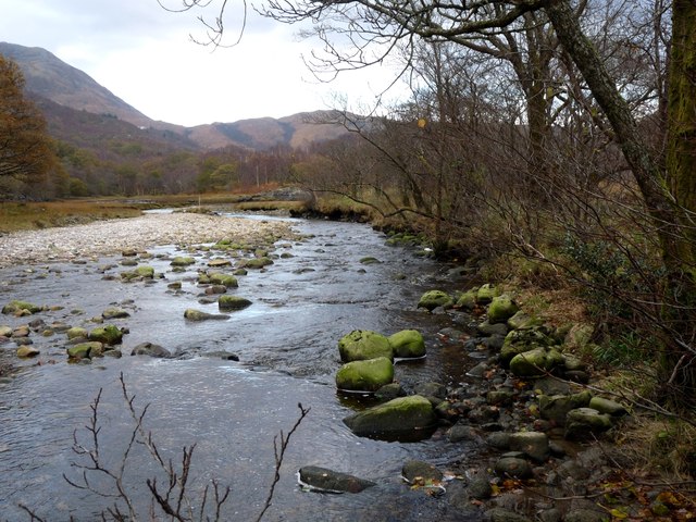
Image: © Alan Reid Taken: 10 Nov 2011
This river doesn't have a typical profile. It misses out the gently falling mid section, passing straight from steep to meandering.
Images are licensed for reuse under creativecommons.org/licenses/by-sa/2.0
Image Location
Latitude
56.713288
Longitude
-4.997938