Brookwood Gardens
Introduction
The photograph on this page of Brookwood Gardens by Alan Murray-Rust as part of the Geograph project.
The Geograph project started in 2005 with the aim of publishing, organising and preserving representative images for every square kilometre of Great Britain, Ireland and the Isle of Man.

There are currently over 7.5m images from over 14,400 individuals and you can help contribute to the project by visiting https://www.geograph.org.uk
Brookwood Gardens
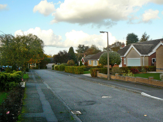
Image: © Alan Murray-Rust Taken: 1 Nov 2011
Still shown as a public footpath on the current OS 1:25000 maps, as it follows the line of an old-established right of way.
Images are licensed for reuse under creativecommons.org/licenses/by-sa/2.0
Image Location
Latitude
52.88061
Longitude
-1.087876