Part of Sittingbourne Research Centre in 1969
Introduction
The photograph on this page of Part of Sittingbourne Research Centre in 1969 by John Baker as part of the Geograph project.
The Geograph project started in 2005 with the aim of publishing, organising and preserving representative images for every square kilometre of Great Britain, Ireland and the Isle of Man.

There are currently over 7.5m images from over 14,400 individuals and you can help contribute to the project by visiting https://www.geograph.org.uk
Part of Sittingbourne Research Centre in 1969
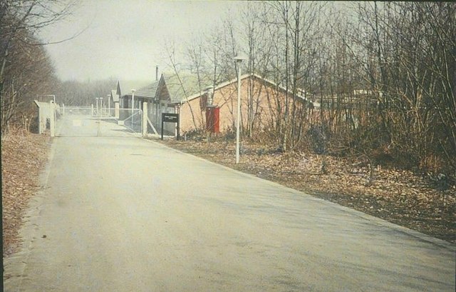
Image: © John Baker Taken: Unknown
These buildings formed part of the research establishment of Shell Research Ltd when it was based at Sittingbourne Research Centre. It was known as ‘Cromers Wood’ and I worked in it during two different periods when I was employed by the company. Due to the buildings being built on a slope, there was a flight of steps between the bottom section and the top, which backed onto the wood. On 7 March 1969, part of the top section began to show the effects of acute subsidence and had to be shored up to prevent its collapse. The subsidence was remedied by digging a trench along the back of the upper section for drainage pipes. Part of this upper section was demolished and rebuilt. The site has since become Broadoak Enterprise Village.
Images are licensed for reuse under creativecommons.org/licenses/by-sa/2.0
Image Location
Latitude
51.312725
Longitude
0.731308