Remains of benchmark on cemetery wall
Introduction
The photograph on this page of Remains of benchmark on cemetery wall by Roger Templeman as part of the Geograph project.
The Geograph project started in 2005 with the aim of publishing, organising and preserving representative images for every square kilometre of Great Britain, Ireland and the Isle of Man.

There are currently over 7.5m images from over 14,400 individuals and you can help contribute to the project by visiting https://www.geograph.org.uk
Remains of benchmark on cemetery wall
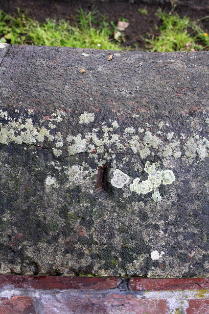
Image: © Roger Templeman Taken: 7 Aug 2011
The coping stone of the wall has evidently been 'repaired' leaving only the bottom of the centre arrow cut of what was an Ordnance Survey rivet benchmark which is described on the Bench Mark Database at http://www.bench-marks.org.uk/bm39071
Images are licensed for reuse under creativecommons.org/licenses/by-sa/2.0
Image Location
Latitude
54.881773
Longitude
-2.953873