Pylons viewed from a road junction near Magorpill Farm
Introduction
The photograph on this page of Pylons viewed from a road junction near Magorpill Farm by Jaggery as part of the Geograph project.
The Geograph project started in 2005 with the aim of publishing, organising and preserving representative images for every square kilometre of Great Britain, Ireland and the Isle of Man.

There are currently over 7.5m images from over 14,400 individuals and you can help contribute to the project by visiting https://www.geograph.org.uk
Pylons viewed from a road junction near Magorpill Farm
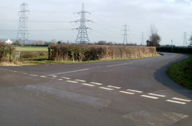
Image: © Jaggery Taken: 11 Feb 2011
The road on the right leads to Undy. The road on the left is Whitewall which leads to Magor via Whitewall Common.
Images are licensed for reuse under creativecommons.org/licenses/by-sa/2.0
Image Location
Latitude
51.567308
Longitude
-2.819435