Rose Cottage south of Magor
Introduction
The photograph on this page of Rose Cottage south of Magor by Jaggery as part of the Geograph project.
The Geograph project started in 2005 with the aim of publishing, organising and preserving representative images for every square kilometre of Great Britain, Ireland and the Isle of Man.

There are currently over 7.5m images from over 14,400 individuals and you can help contribute to the project by visiting https://www.geograph.org.uk
Rose Cottage south of Magor
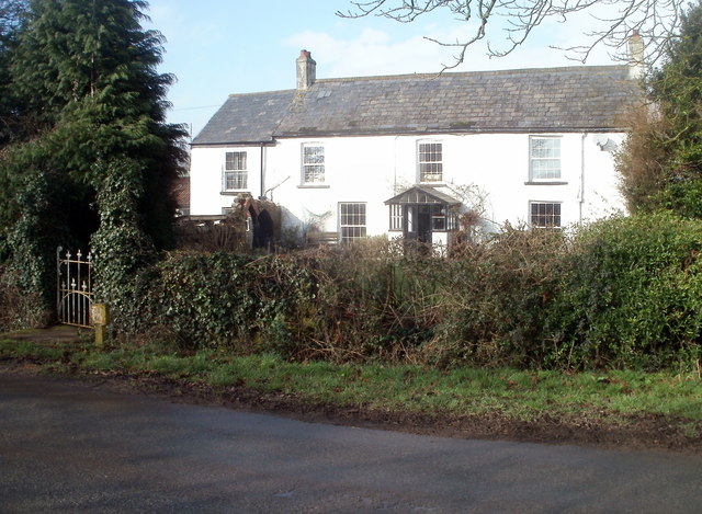
Image: © Jaggery Taken: 11 Feb 2011
Viewed across Pill Street, to the SW of the Whitewall junction.
Images are licensed for reuse under creativecommons.org/licenses/by-sa/2.0
Image Location
Latitude
51.56549
Longitude
-2.822288