NE boundary of Newnham-on-Severn
Introduction
The photograph on this page of NE boundary of Newnham-on-Severn by Jaggery as part of the Geograph project.
The Geograph project started in 2005 with the aim of publishing, organising and preserving representative images for every square kilometre of Great Britain, Ireland and the Isle of Man.

There are currently over 7.5m images from over 14,400 individuals and you can help contribute to the project by visiting https://www.geograph.org.uk
NE boundary of Newnham-on-Severn
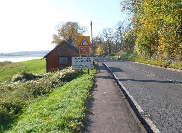
Image: © Jaggery Taken: 6 Nov 2011
The A48 leaves the hamlet of Broadoak and enters the village of Newnham-on-Severn. The building next to the boundary sign is a Grade II listed former salmon hut. http://www.geograph.org.uk/photo/2685637
Images are licensed for reuse under creativecommons.org/licenses/by-sa/2.0
Image Location
Latitude
51.806689
Longitude
-2.446668