Southern boundary of Broadoak, Gloucestershire
Introduction
The photograph on this page of Southern boundary of Broadoak, Gloucestershire by Jaggery as part of the Geograph project.
The Geograph project started in 2005 with the aim of publishing, organising and preserving representative images for every square kilometre of Great Britain, Ireland and the Isle of Man.

There are currently over 7.5m images from over 14,400 individuals and you can help contribute to the project by visiting https://www.geograph.org.uk
Southern boundary of Broadoak, Gloucestershire
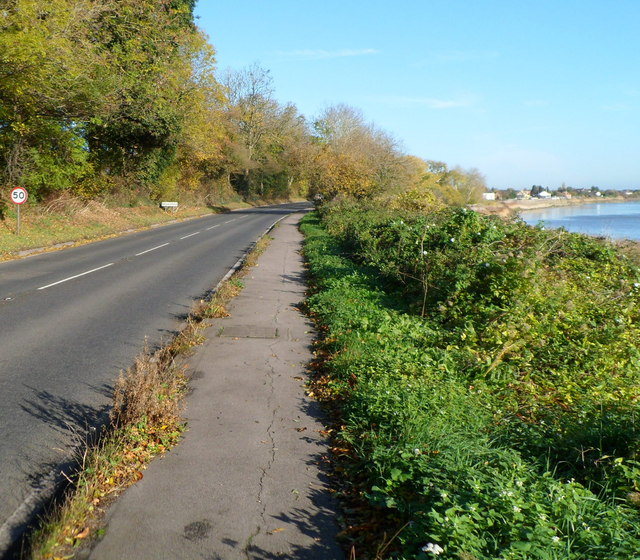
Image: © Jaggery Taken: 6 Nov 2011
A few metres beyond the 50mph speed limit sign is the Broadoak boundary sign, at the edge of the A48. Viewed from Newnham-on-Severn. The River Severn is visible on the right.
Images are licensed for reuse under creativecommons.org/licenses/by-sa/2.0
Image Location
Latitude
51.807588
Longitude
-2.446677