Lettice Street, Aughnacloy
Introduction
The photograph on this page of Lettice Street, Aughnacloy by Kenneth Allen as part of the Geograph project.
The Geograph project started in 2005 with the aim of publishing, organising and preserving representative images for every square kilometre of Great Britain, Ireland and the Isle of Man.

There are currently over 7.5m images from over 14,400 individuals and you can help contribute to the project by visiting https://www.geograph.org.uk
Lettice Street, Aughnacloy
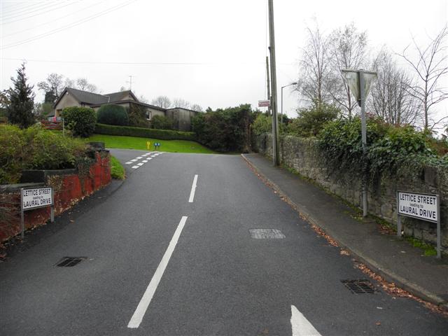
Image: © Kenneth Allen Taken: 8 Nov 2011
Looking south-west from Caledon Road. Much of the town was built in the 18th Century by Acheson Moore, the local landlord. Because he backed the Jacobite cause, he planted his estate in the shape of a thistle and planned out the town on the edge of it. Unable to rename it "Mooretown", he had to settle for naming the main street "Moore Street", and the side streets Sydney, Lettice and Henritta (now Ravella Rd), after his three wives.
Images are licensed for reuse under creativecommons.org/licenses/by-sa/2.0
Image Location
Latitude
54.411404
Longitude
-6.972541