M27 eastbound, Chilworth
Introduction
The photograph on this page of M27 eastbound, Chilworth by Jim Champion as part of the Geograph project.
The Geograph project started in 2005 with the aim of publishing, organising and preserving representative images for every square kilometre of Great Britain, Ireland and the Isle of Man.

There are currently over 7.5m images from over 14,400 individuals and you can help contribute to the project by visiting https://www.geograph.org.uk
M27 eastbound, Chilworth
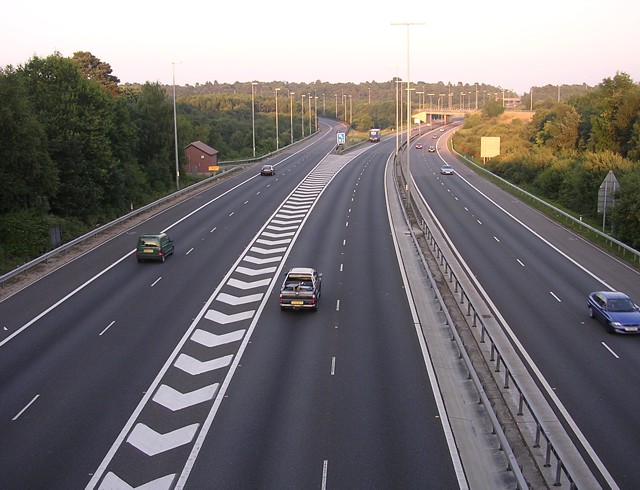
Image: © Jim Champion Taken: 12 Jul 2005
Taken looking east from the bridge over the motorway just south of the Chilworth Research Centre. The slip road to the left leads to the M3, the usual route for container lorries heading out of the docks at Southampton.
Images are licensed for reuse under creativecommons.org/licenses/by-sa/2.0
Image Location


Leaflet Map data © OpenStreetMap
Latitude
50.955513
Longitude
-1.424766