Westwards from Coombe Hill in 1966
Introduction
The photograph on this page of Westwards from Coombe Hill in 1966 by John Baker as part of the Geograph project.
The Geograph project started in 2005 with the aim of publishing, organising and preserving representative images for every square kilometre of Great Britain, Ireland and the Isle of Man.

There are currently over 7.5m images from over 14,400 individuals and you can help contribute to the project by visiting https://www.geograph.org.uk
Westwards from Coombe Hill in 1966
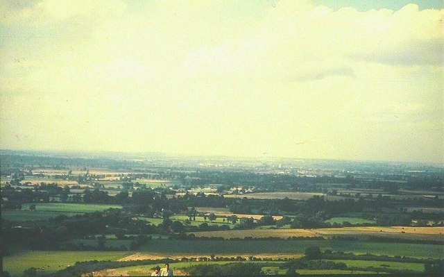
Image: © John Baker Taken: 14 Aug 1966
Coombe Hill rises to 852' and in this view one can just make out (in the far distance) a gas holder (right of centre) in Aylesbury
Images are licensed for reuse under creativecommons.org/licenses/by-sa/2.0
Image Location
Latitude
51.753579
Longitude
-0.773488