The Cavan Road at its approach to the bridge over the Bann
Introduction
The photograph on this page of The Cavan Road at its approach to the bridge over the Bann by Eric Jones as part of the Geograph project.
The Geograph project started in 2005 with the aim of publishing, organising and preserving representative images for every square kilometre of Great Britain, Ireland and the Isle of Man.

There are currently over 7.5m images from over 14,400 individuals and you can help contribute to the project by visiting https://www.geograph.org.uk
The Cavan Road at its approach to the bridge over the Bann
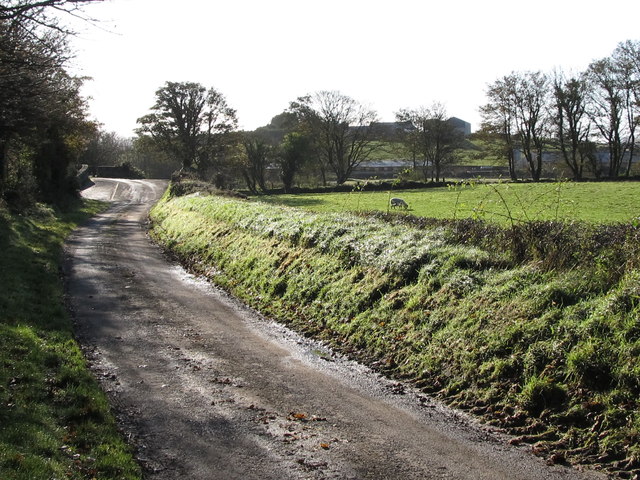
Image: © Eric Jones Taken: 5 Nov 2011
Here the river runs parallel with the River Bann and is liable to flooding after heavy rains.
Images are licensed for reuse under creativecommons.org/licenses/by-sa/2.0
Image Location
Latitude
54.225126
Longitude
-6.120342