Tabernacle Street
Introduction
The photograph on this page of Tabernacle Street by Stephen Richards as part of the Geograph project.
The Geograph project started in 2005 with the aim of publishing, organising and preserving representative images for every square kilometre of Great Britain, Ireland and the Isle of Man.

There are currently over 7.5m images from over 14,400 individuals and you can help contribute to the project by visiting https://www.geograph.org.uk
Tabernacle Street
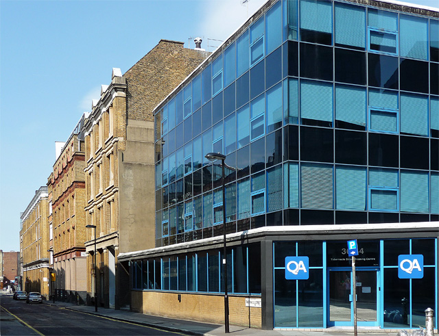
Image: © Stephen Richards Taken: 4 Jun 2011
Looking north from the junction with Epworth Street. A good run of former Victorian warehouses, all brick and of four or five storeys, plus a modern interloper, the one with flush, sleek blue glass.
Images are licensed for reuse under creativecommons.org/licenses/by-sa/2.0
Image Location
Latitude
51.523539
Longitude
-0.085892