Main Street
Introduction
The photograph on this page of Main Street by Alan Murray-Rust as part of the Geograph project.
The Geograph project started in 2005 with the aim of publishing, organising and preserving representative images for every square kilometre of Great Britain, Ireland and the Isle of Man.

There are currently over 7.5m images from over 14,400 individuals and you can help contribute to the project by visiting https://www.geograph.org.uk
Main Street
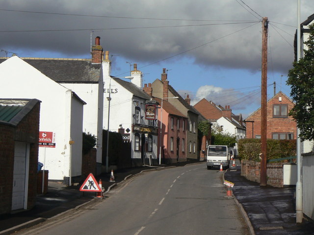
Image: © Alan Murray-Rust Taken: 1 Nov 2011
The traditional part of the village which expanded enormously in the 20th century, particularly after World War II.
Images are licensed for reuse under creativecommons.org/licenses/by-sa/2.0
Image Location
Latitude
52.868223
Longitude
-1.090364