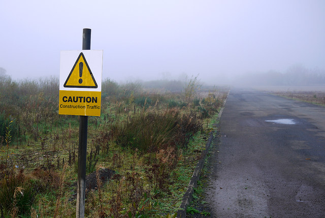
The Maze/Long Kesh regeneration site
Introduction
The photograph on this page of The Maze/Long Kesh regeneration site by Rossographer as part of the Geograph project.
The Geograph project started in 2005 with the aim of publishing, organising and preserving representative images for every square kilometre of Great Britain, Ireland and the Isle of Man.
There are currently over 7.5m images from over 14,400 individuals and you can help contribute to the project by visiting https://www.geograph.org.uk

Image: © Rossographer Taken: 5 Nov 2011
A rather mundane shot of what appears to be an old road and a yellow sign indicating the presence of construction traffic. The location is the site of the former Long Kesh Detention Centre and Maze Prison, a few miles outside the City of Lisburn. Before use as an internment camp/prison the site was used as an airfield during and after the Second World War - although now used as a road, this was formerly a taxiing runway. Most of the detention centre and prison has now been demolished. Some buildings, including one of the internment cages, one 'H Block', the (listed) prison chapel, the hospital and a few other buildings are open to visitors (strictly by appointment only). Pictures, however, are strictly forbidden anywhere on the site on the orders of the Office for the First Minister and Deputy First Minister http://www.ofmdfmni.gov.uk/ - this one was taken very close to the entrance off the Halftown Road and I did not take any others (mind you, the web is full of images and videos from inside the prison......have a look on YouTube). The huge site, some 360 acres, is now being redeveloped but arguments remain about what to do with it. Proposals have included "a museum, a multi-purpose sports stadium and a hotel and leisure village". Watch this space......

