Storage pits
Introduction
The photograph on this page of Storage pits by Bill Nicholls as part of the Geograph project.
The Geograph project started in 2005 with the aim of publishing, organising and preserving representative images for every square kilometre of Great Britain, Ireland and the Isle of Man.

There are currently over 7.5m images from over 14,400 individuals and you can help contribute to the project by visiting https://www.geograph.org.uk
Storage pits
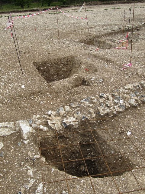
Image: © Bill Nicholls Taken: 12 Aug 2011
These, it turns out, were storage pits for grain, the Iron Age Britons used to use them, the Romans built over them. At the present time this area is now a construction site, I managed to get these photos before development started.
Images are licensed for reuse under creativecommons.org/licenses/by-sa/2.0
Image Location
Latitude
51.568053
Longitude
-1.309873