Channel close-up
Introduction
The photograph on this page of Channel close-up by Bill Nicholls as part of the Geograph project.
The Geograph project started in 2005 with the aim of publishing, organising and preserving representative images for every square kilometre of Great Britain, Ireland and the Isle of Man.

There are currently over 7.5m images from over 14,400 individuals and you can help contribute to the project by visiting https://www.geograph.org.uk
Channel close-up
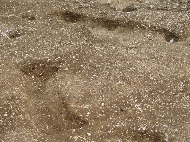
Image: © Bill Nicholls Taken: 12 Aug 2011
Close up of the rain gullies from the Iron Age roundhouse at the old RAF site at Harwell, I think the holes nearby are old post holes. At the present time this area is now a construction site, I managed to get these photos before it started.
Images are licensed for reuse under creativecommons.org/licenses/by-sa/2.0
Image Location
Latitude
51.568054
Longitude
-1.310018