Roundhouse in the footings
Introduction
The photograph on this page of Roundhouse in the footings by Bill Nicholls as part of the Geograph project.
The Geograph project started in 2005 with the aim of publishing, organising and preserving representative images for every square kilometre of Great Britain, Ireland and the Isle of Man.

There are currently over 7.5m images from over 14,400 individuals and you can help contribute to the project by visiting https://www.geograph.org.uk
Roundhouse in the footings
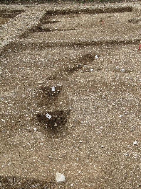
Image: © Bill Nicholls Taken: 12 Aug 2011
The Roman building was built on top of an old Iron Age roundhouse it seems; the gullies here are where the rain dripped off the thatched roof. At the present time this area is now a construction site, I managed to get these photos before it started.
Images are licensed for reuse under creativecommons.org/licenses/by-sa/2.0
Image Location
Latitude
51.568053
Longitude
-1.309873