The Teme valley near Newnham Bridge
Introduction
The photograph on this page of The Teme valley near Newnham Bridge by Philip Halling as part of the Geograph project.
The Geograph project started in 2005 with the aim of publishing, organising and preserving representative images for every square kilometre of Great Britain, Ireland and the Isle of Man.

There are currently over 7.5m images from over 14,400 individuals and you can help contribute to the project by visiting https://www.geograph.org.uk
The Teme valley near Newnham Bridge
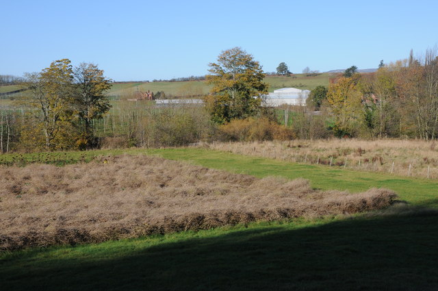
Image: © Philip Halling Taken: 6 Nov 2011
View across the Teme valley to Newnham Court Farm. The Teme flows in the near distance, beyond are the poles of a hop field. The OS map shows this land as woodland.
Images are licensed for reuse under creativecommons.org/licenses/by-sa/2.0
Image Location
Latitude
52.311212
Longitude
-2.520526