Cottage Farm
Introduction
The photograph on this page of Cottage Farm by Alan Murray-Rust as part of the Geograph project.
The Geograph project started in 2005 with the aim of publishing, organising and preserving representative images for every square kilometre of Great Britain, Ireland and the Isle of Man.

There are currently over 7.5m images from over 14,400 individuals and you can help contribute to the project by visiting https://www.geograph.org.uk
Cottage Farm
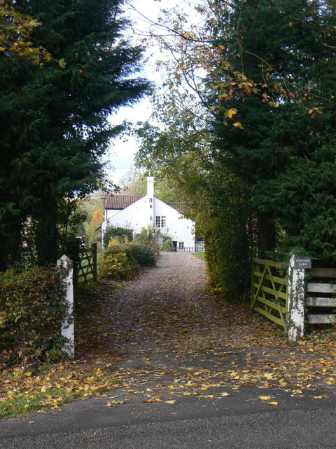
Image: © Alan Murray-Rust Taken: 1 Nov 2011
The name might suggest a long-established farm, but in fact it does not appear on maps until around 1920.
Images are licensed for reuse under creativecommons.org/licenses/by-sa/2.0
Image Location


Leaflet Map data © OpenStreetMap
Latitude
52.865212
Longitude
-1.073047