Behind Bas Vegas
Introduction
The photograph on this page of Behind Bas Vegas by terry joyce as part of the Geograph project.
The Geograph project started in 2005 with the aim of publishing, organising and preserving representative images for every square kilometre of Great Britain, Ireland and the Isle of Man.

There are currently over 7.5m images from over 14,400 individuals and you can help contribute to the project by visiting https://www.geograph.org.uk
Behind Bas Vegas
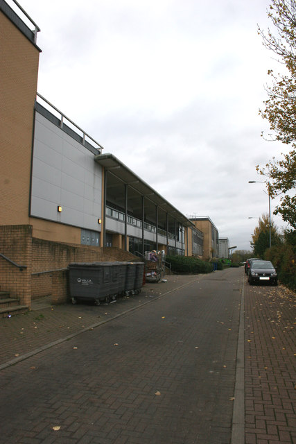
Image: © terry joyce Taken: 6 Nov 2011
This is the access road to some of the buildings in the Festival Leisure Park, Basildon, otherwise known as Bas Vegas. The road is shown on the map as Waterfront Walk previously, Pipps Hill Road South.
Images are licensed for reuse under creativecommons.org/licenses/by-sa/2.0
Image Location
Latitude
51.585992
Longitude
0.461536