Derwen church house
Introduction
The photograph on this page of Derwen church house by Neil Owen as part of the Geograph project.
The Geograph project started in 2005 with the aim of publishing, organising and preserving representative images for every square kilometre of Great Britain, Ireland and the Isle of Man.

There are currently over 7.5m images from over 14,400 individuals and you can help contribute to the project by visiting https://www.geograph.org.uk
Derwen church house
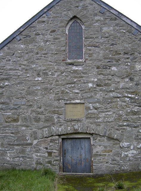
Image: © Neil Owen Taken: 7 Nov 2011
Dated 1905, and situated beside the historic cross. It served as a schoolroom for a time. See Image] for a positional, alongside the old preaching cross.
Images are licensed for reuse under creativecommons.org/licenses/by-sa/2.0
Image Location
Latitude
53.045542
Longitude
-3.388386