Nicker Hill, Keyworth
Introduction
The photograph on this page of Nicker Hill, Keyworth by Alan Murray-Rust as part of the Geograph project.
The Geograph project started in 2005 with the aim of publishing, organising and preserving representative images for every square kilometre of Great Britain, Ireland and the Isle of Man.

There are currently over 7.5m images from over 14,400 individuals and you can help contribute to the project by visiting https://www.geograph.org.uk
Nicker Hill, Keyworth
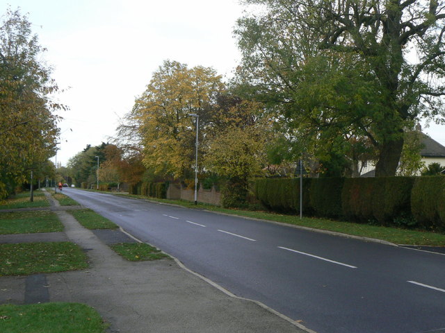
Image: © Alan Murray-Rust Taken: 1 Nov 2011
Looking northwest from the junction with Willow Brook. Housing along here developed in the form of ribbon development, consisting of large detached houses, during the inter-war period.
Images are licensed for reuse under creativecommons.org/licenses/by-sa/2.0
Image Location
Latitude
52.872765
Longitude
-1.073183