The floodplain of the Upper Bann from Mill Road
Introduction
The photograph on this page of The floodplain of the Upper Bann from Mill Road by Eric Jones as part of the Geograph project.
The Geograph project started in 2005 with the aim of publishing, organising and preserving representative images for every square kilometre of Great Britain, Ireland and the Isle of Man.

There are currently over 7.5m images from over 14,400 individuals and you can help contribute to the project by visiting https://www.geograph.org.uk
The floodplain of the Upper Bann from Mill Road
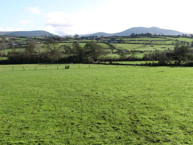
Image: © Eric Jones Taken: 5 Nov 2011
The Bann rises in the Mountains of Mourne (seen in the background) and flows northwards for 80 miles to join the North Atlantic at Portstewart near Coleraine.
Images are licensed for reuse under creativecommons.org/licenses/by-sa/2.0
Image Location
Latitude
54.207824
Longitude
-6.134463