Thornbury Medieval Fishponds
Introduction
The photograph on this page of Thornbury Medieval Fishponds by Ruth Riddle as part of the Geograph project.
The Geograph project started in 2005 with the aim of publishing, organising and preserving representative images for every square kilometre of Great Britain, Ireland and the Isle of Man.

There are currently over 7.5m images from over 14,400 individuals and you can help contribute to the project by visiting https://www.geograph.org.uk
Thornbury Medieval Fishponds
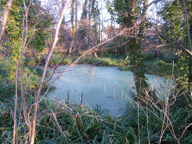
Image: © Ruth Riddle Taken: 1 Jan 2010
Taken on a frosty New Year's Day 2010
Images are licensed for reuse under creativecommons.org/licenses/by-sa/2.0
Image Location
Latitude
51.6189
Longitude
-2.524407