Reading to Westbury railway line
Introduction
The photograph on this page of Reading to Westbury railway line by Stuart Logan as part of the Geograph project.
The Geograph project started in 2005 with the aim of publishing, organising and preserving representative images for every square kilometre of Great Britain, Ireland and the Isle of Man.

There are currently over 7.5m images from over 14,400 individuals and you can help contribute to the project by visiting https://www.geograph.org.uk
Reading to Westbury railway line
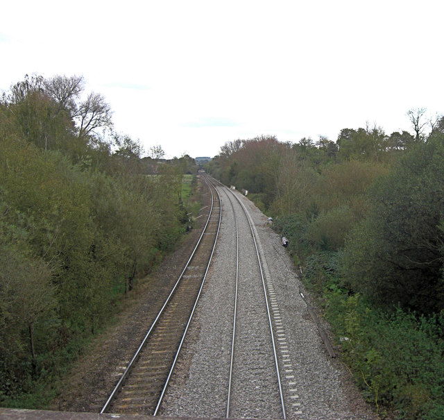
Image: © Stuart Logan Taken: 20 Oct 2011
The line heads towards Great Bedwyn in this picture and from that village comes Church Street. At its junction with Crofton Road is the railway bridge which affords this picture.
Images are licensed for reuse under creativecommons.org/licenses/by-sa/2.0
Image Location
Latitude
51.372054
Longitude
-1.605461