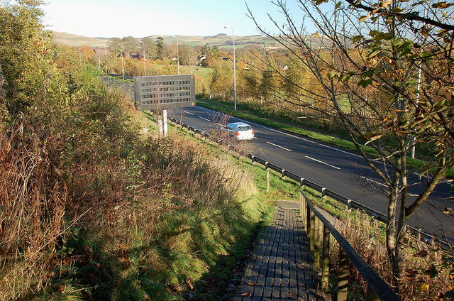
Southern Upland Way crosses the A7
Introduction
The photograph on this page of Southern Upland Way crosses the A7 by Jim Barton as part of the Geograph project.
The Geograph project started in 2005 with the aim of publishing, organising and preserving representative images for every square kilometre of Great Britain, Ireland and the Isle of Man.
There are currently over 7.5m images from over 14,400 individuals and you can help contribute to the project by visiting https://www.geograph.org.uk

Image: © Jim Barton Taken: 6 Nov 2011
Steps down to the A7 south of Galashiels. The route crosses the road and descends further to the Tweed close by the old Galashiels - Selkirk railway. In view left of centre is a Variable Message Sign used to inform motorists of specific problems or diversions, general hazards e.g. 'Fog risk caution' or helpful advice such as 'Belt up in the back'. See http://trafficscotland.org/vms/index.aspx for a list of signs on Scottish roads.

